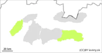
Danger level
 | 1500m |
|  |
|  | ||||
|  | |


![]()
During snowfall, the avalanche danger is constantly increasing! Beware of wet snow at altitudes up to 1500 m
The new snow puts additional load to the old snow cover. In places where there were previously snow slabs and pillows and they are covered with snow, it is possible to release an avalanche with the additional load. Spontaneous avalanches from new snow are also possible on very steep slopes at high altitudes. Due to warming in the mid-altitudes, the snow cover will be moist to wet, smaller to medium-sized avalanches are possible on steep slopes, exceptionally also sliding avalanches (foundation avalanches)
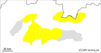
Snowpack
Warming temperatures and snow showers will peak during Saturday. The snow cover is therefore varied. At lower and middle elevations, the snow is moist to wet, while at high elevations above 1,500 m it is dry and mostly loose. New snow (in 48 hours) has fallen and is between 10 and 30 cm. The wind should start to blow on Saturday evening, when it will also get significantly colder.
Tendency
Increasing tendency Due to the constant snowfall, 10 - 30 cm of new snow falls during the day. On the positive side, at an ideal temperature of -5 to -1°C. The situation will worsen after the cold and strong winds in the following days.