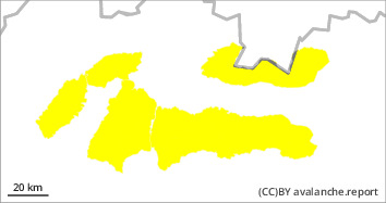
Danger level
 |
|  |  | |||||
|  |
|  |

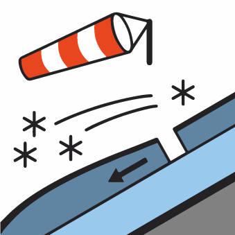
The main avalanche problem is wind-blown snow.
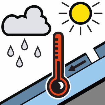
In recent days, strong, predominantly westerly winds have transported snow mainly to the leeward sides of ridges, places under saddles, rock walls and into steep couloirs above 35°. Especially S, SE and E orientations are dangerous. Here, due to the strong winds of the previous days, wind-beaten slabs and cushions of different hardness are formed, which are also deposited on hard ground. Their loosening is possible under high additional loads (walking, jumping, falling). At altitudes below 1500 m, rain will influence the avalanche situation. This will soak the snow cover, making it heavier and reducing its strength. Small to medium-sized spontaneous avalanches may occur, mainly from wet snow.
Snowpack
dp.1: deep persistent weak layer
It snowed at low temperatures on a hard substrate therefore the individual layers are not well bonded to each other. In particular, watch out for locally blown hard slabs, on the leeward sides of the ridges. The windward sides of the ridges are blown into the hard substrate. There is loose powder snow on the north and shady slopes.
Tendency
Moist air will be flowing into our area from the southwest to the west. Cloudy to cloudy with occasional snow, especially in the afternoon. Temperature in high altitudes from -4 to -11°C. In high altitudes (above 1500 m above sea level) strong winds from 10 to 15 m/s in gusts up to 25 m/s. Between 5 and 10 cm of new snow has fallen in our mountains, which is unevenly distributed due to the wind.
