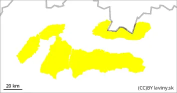
During Tuesday, the weather in the mountains of Slovakia will continue to be influenced by high pressure. This will bring sunny weather with high cloud cover and warm air at higher altitudes. The alternation of positive daytime and negative night-time temperatures has gradually stabilised the avalanche situation slightly. A moderate avalanche danger, i.e. level 2 on the five-part international scale, is in force for all mountain ranges in Slovakia on Tuesday. The main avalanche problem in the morning is wind-blown snow from the last snowfall on the E, SE, S and SW orientations. From midday onwards, due to warm air and solar radiation, the second avalanche problem is wet snow on SE, S and SW orientations. The most dangerous will be the sunlit slopes of the S orientations with more accumulated new snow and high gradients. It will be possible to release an avalanche (especially with a large additional load) in these places. Smaller spontaneous avalanches may also occur during the day on very steep to extreme slopes of S orientations.
Snowpack
The snow cover is blown down to the hard underlying ice layer on the windward sides due to the very windy weekend. On the leeward side there is wind blown snow of varying thickness on the SE, E and S orientations, lying on a hard base layer of old snow. Monday's sunny weather had a positive effect on the stability of such wind-blown formations, but there is still a large difference in hardness between the blown new layer and the underlying layer of hardened old snow in the snow profile. Moderate heating of sunlit exposures is expected on the S side during Tuesday, which may become critically heavy.