Danger level
 | 1700m |
|  |
|  |

![]()
Snowfall with strong winds formed snow slabs.
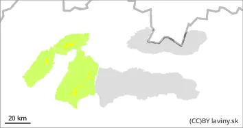
In the Western, High and Low Tatras there is a MODERATE avalanche danger (2nd degree) at altitudes above 1700 m a.s.l. The snow from the last snowfall period has stabilized and we do not expect another large increase of new snow. Only up to 10 cm of snow should be added. The snowfall boundary has been changing and it has only snowed above 1700 m above sea level. However, the snowline will gradually decrease. Winds will increase in the afternoon. Wind-blown snow is therefore the main problem. The steep troughs of the highest altitudes are dangerous, where the wind deposits snow slabs and pillows. Below the 1700 m mark it was mostly raining. Strong cooling will cause the snow to harden here and be stable in terms of avalanches. We do not expect spontaneous avalanches. However, the surface of the snow may be icy, so there is a risk of slips and falls.
Snowpack
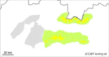
Above 1700 m above sea level, the surface of the snow cover is dry and wind-beaten into slabs. Under this layer is a hard crust of ice. It is this combination that can be dangerous in terms of avalanches. Below these layers there is a weak layer of square-grained snow, but this does not pose a great risk because man cannot break through the hard to icy crust with his weight. Below 1700 m above sea level, it has mostly rained, so the snow is hard to icy when it cools down. The limit of continuous snow cover has risen to about 1100 m above sea level.
Tendency
Stays the same.