Danger level
 | 1500m |
|  |
|  |

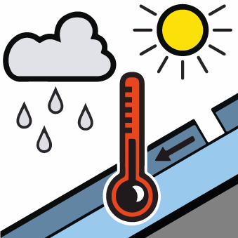
The main avalanche problem, especially in the afternoon, is wet snow.
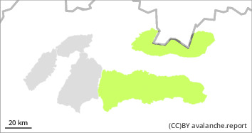
For the High, Western and Low Tatras there is a low avalanche danger (1 degree) from 1500 m above sea level. The main avalanche problem, especially in the afternoon, is wet snow. Clouds are expected to increase during the day and cloudy weather from midday, so the snow cover will not melt as significantly as in previous days. The snow from the last snowfall is already well bound, the snow cover is hard and firm in the morning. Avalanches and smaller spontaneous avalanches may occur in the narrow steep couloirs of the highest altitudes during the day. Spontaneous medium-sized avalanches of wet snow may also occur in places with a large collecting area.
Snowpack
dp.3: rain
dp.2: gliding snow
The snow cover is only present from the middle altitudes. Due to the alternation of daytime plus and nighttime minus temperatures, it is hard, firn-like in the morning and wet, boring from midday. Overall, the snow cover in our mountains is from 1500 m above sea level. In Veľká and Malá Fatra, there is almost no continuous snow cover at all.
Tendency
The weather during Saturday will be influenced by the advancing wavy frontal boundary, so expect partly cloudy weather. Winds will be westerly to northwesterly at 5 to 15 m/s (20-55 km/h). Temperatures will reach 7 to 11°C in the mid-altitudes and 0 to 7°C in the highest altitudes during the day.
