
Danger level
 | 1900m |
|  |
|  |
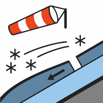

Watch out for drifted snow on the leeward sides (E, SE).
In the Western and High Tatras, a low avalanche danger—Level 1—persists above the 1,900-meter elevation. This danger is primarily due to wind-drifted snow on the leeward slopes (east and southeast) of the highest elevations. Be cautious in very steep areas, narrow gullies, and notches where snow accumulates. Here, due to precipitation combined with strong winds, small snow slabs and pillows may form on leeward slopes. Light snowfall and strong winds are still expected throughout the day.
Snowpack
On Thursday, the weather will be influenced by the edge of a low-pressure system and a strong westerly airflow. We expect an influx of moist air and continued very strong winds. Light snow showers are expected in higher elevations. The wind will carry the snow to the leeward sides of the mountain ranges. Fresh snow from the last snowfall lies on top of an old, hard snowpack. These two layers are not sufficiently bonded and form a dangerous layer prone to detachment—especially under additional load. The thickness of the new snow layer may vary depending on the aspect, but averages 10–20 cm.