Danger level
 | treeline |
|  |
|  |

![]()
Stabilized situation after cooling down, watch out only for locally wind-drifted new snow.
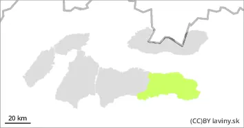
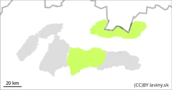
In the Tatras and Low Tatras there is only a SMALL avalanche danger, 1st degree. Avalanche release is possible only with a larger additional load on exposed slopes with new snow, which should fall during Monday. Spontaneous avalanches are not expected.
Snowpack
The snow cover freezes and stabilises due to the cooling. During the night and Monday, new snow will be added to the surface, up to 10 cm in total. The wind will be fresh to strong, mainly north-westerly, up to 15 m/s, in the Low Tatras up to 25 m/s. Depending on the orientation, the continuous snow cover will be from 1300 to 1700 m above sea level. Its height reaches 30 to 150 cm, with the most snow in the Low Tatras.
Tendency
persistent situation