Danger level
 | 1500m |
|  |
|  |

The last period of snowfall was accompanied by very strong winds, which created snow pillows and slabs in the highest places, lying on a hard layer of old snow.
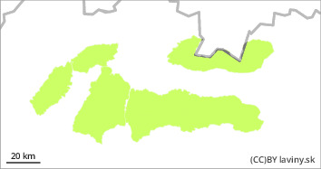
During Friday, the weather in all mountains of Slovakia will be influenced by a strong pressure high, which will bring clear weather in the morning, later partly cloudy weather, gradually warming up. Due to the below-average snow cover, there is a low avalanche danger in all mountain ranges. The last period of snowfall (Sunday-Tuesday) was accompanied by very strong NE winds. The main avalanche problem is wind-blown snow, especially on S, SW, W and SE exposures on steep to extremely steep slopes. At the highest elevations, especially in couloirs, couloirs and terrain depressions, there are snow slabs and pillows that lie on top of a layer of old hardened snow cover and are clearly distinguishable from the older snow cover. The bond between the two layers is not sufficient and a large additional load can release a smaller avalanche. The threat of such smaller avalanches is mainly from being swept into exposed terrain.
Snowpack
The amount of snow in all mountains of Slovakia is below average. During the last snowfall period (Sunday - Tuesday) up to 10 cm of new powder snow fell. The snowfall came from the northeast, so the biggest increase was recorded in the eastern part of the High Tatras. At the highest altitudes, especially in narrow troughs and notches, locally larger amounts of snow may be blown on hard to icy ground. In such places there are smaller slabs and snow pillows of blown snow lying on older, frozen, hard and sometimes even icy layers. The new wind-blown snow is poorly bonded to the substrate and its stability is poor. In many places there is a hard to icy, boring crust on the surface. Under this layer, square-grained loose layers have formed and movement is difficult.
Tendency
persistent to slightly decreasing
bl
