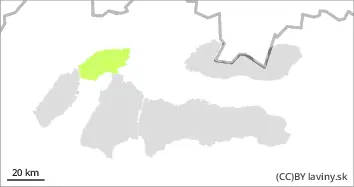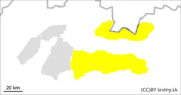
Danger level
 |
|  |  | |||||
|  |
|  |


![]()
Watch out for wet snow!
In the High, Western and Low Tatras there is a moderate avalanche danger (i.e. 2nd degree of the 5-part international scale). Mechanically released or spontaneous avalanches from wet snow can be expected on very steep slopes. The danger is particularly high with large additional loads. On slopes with grassy ground, in all orientations, there is a risk of foundation avalanches, which can reach large dimensions. Beware, flowing avalanches have a high destructive potential, even when they are slow!
Snowpack
On Monday, an influx of unusually warm air will peak in our area. The strong south wind does not allow the air temperature even in the highest altitudes of the High Tatras to drop below 0°C even during the night. The snow cover is soaked in the whole profile at altitudes up to 2,200 m above sea level, hence the risk of sliding base avalanches. Beware, the snow is wet and heavy in a thick layer, even a slide from under your own skis or snowboard can take you off.
Tendency
On Tuesday, a cold front will pass through our area from the west, bringing significant cold and snowfall to our mountains. The avalanche danger will change its character, but it can be expected to remain at the same level.
Compiled by Ivan Chlebovec