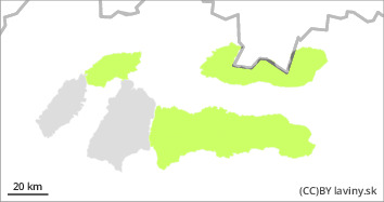
Danger level
 |
|  |  |

Generally favourable spring conditions.
As the cold front passes, the snow cover stabilises, freezes and hardens. The zero isotherm will drop to 1000 m above sea level and snowfalls of up to 5-10 cm are expected from this point. New snow will be transported by westerly winds to east-facing slopes, where smaller snow slabs and pillows may occur sporadically. Hazardous spots will be rare, especially on leeward gullies and moguls where larger amounts of snow will be blown onto the old base.
Snowpack
Due to the change in temperature, the snow cover has stabilised and the surface will be hard to icy. New snow will be deposited irregularly by wind on the hard crust in places. Newly fallen snow will be up to 10 cm high. There is already patchy snow cover at lower and middle elevations.
Tendency
Enduring.
Compiled by : Marek Biskupič
