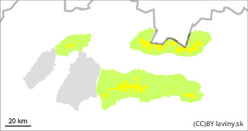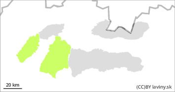
Danger level
 | treeline |
|  |
|  |

Significant cooling after the previous warming. Wind-drifted snow at high altitudes above the treeline.
After a cold front passed through during the night, it cooled down by more than 10°C. Snow cover at lower and middle elevations froze and stabilised. At high altitudes, wind-coiled slabs and pillows of different orientations remain, which continue to be less stable. Avalanche release is possible on such steep slopes, especially with higher additional loads.
Snowpack
The snow cover will stabilise due to the cooling, the snow will freeze at lower and middle altitudes. At high altitudes, wind-blown snow persists and is found in all orientations when the wind changes. 5-10 cm of new snow will fall during the night, followed by strong northerly winds during the day.
Tendency
persistent
Compiled by Filip Kyzek


