AM
Danger level
 |
PM
Danger level
 | 1500m |
|  |
|  |
Increased caution is needed, especially in the afternoon on sunlit slopes.
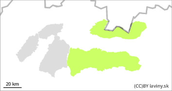
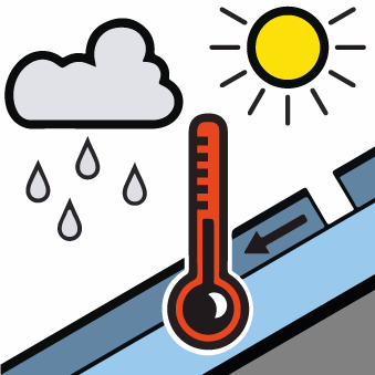
For the High, Western and Low Tatras from 1500 m above sea level there is a low avalanche danger (1st degree). The main factor reducing the stability of the snow cover is warming during the day. Therefore, the main avalanche problem is wet snow. Especially in the afternoon sunlit orientations (S,SW and SE) are dangerous. On such slopes there is a risk of small avalanches or avalanches loosening under high additional loads (e.g. walking). Small spontaneous avalanches may occur during the day in steep couloirs at the highest altitudes. There is a particular danger when they are released by falling into exposed terrain.
Snowpack
dp.10: springtime scenario
The snow cover in our area is generally well consolidated and stable. At altitudes above 1500 m above sea level, night temperatures still drop below 0°C. The snow cover therefore freezes at night and stabilises. In the morning it is still hard and load-bearing. During the day, and especially in the afternoon on sunlit slopes, it gets wet and damp due to warming, and suddenly loses its firmness. At the highest altitudes of northern and shaded exposures it remains very hard to icy. At the highest altitudes (1500 - 2500 m above sea level) the temperature will range from 7 to -2°C. Clear to partly cloudy, with occasional cloud cover during the day
