AM
Danger level
 |
PM
Danger level
 | 1500m |
|  |
|  |
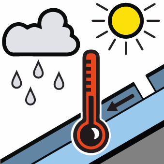
It is necessary to increase caution especially in the afternoon on sunlit slopes.
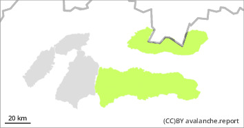
For the High, Western and Low Tatras from 1500 m above sea level there is a low avalanche danger (1st degree). The main avalanche danger is wet snow, especially in the afternoon. Especially steep sunlit slopes of south, southeast and southwest orientation are dangerous. On such slopes, there is a risk of small avalanches or avalanches being released under high additional loads ( e.g. movement on foot). During the day, small spontaneous avalanches may occur in steep couloirs at the highest altitudes. There is a particular danger when they are released by falling into exposed terrain.
Snowpack
dp.10: springtime scenario
The snow cover in our area is generally well consolidated and stable. Cold nights and mornings stabilise it sufficiently while the snow is hard and load-bearing. It is expected to warm slightly during the day. At the highest altitudes (1500 - 2500 m above sea level) the temperature will range from 6 to -2°C. Clear to partly cloudy, with occasional cloud cover during the day. As the day progressively warms up, the snow cover will become wetter, heavier and suddenly lose its firmness. In general, a continuous snow cover is found in our territory from 1500 m above sea level. In Veľká and Malá Fatra, the snow cover is almost non-existent.
